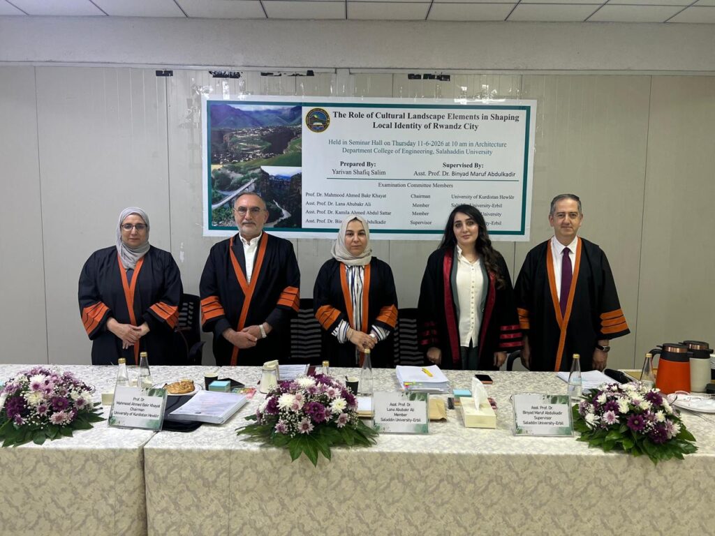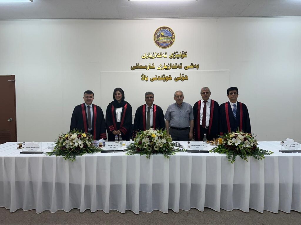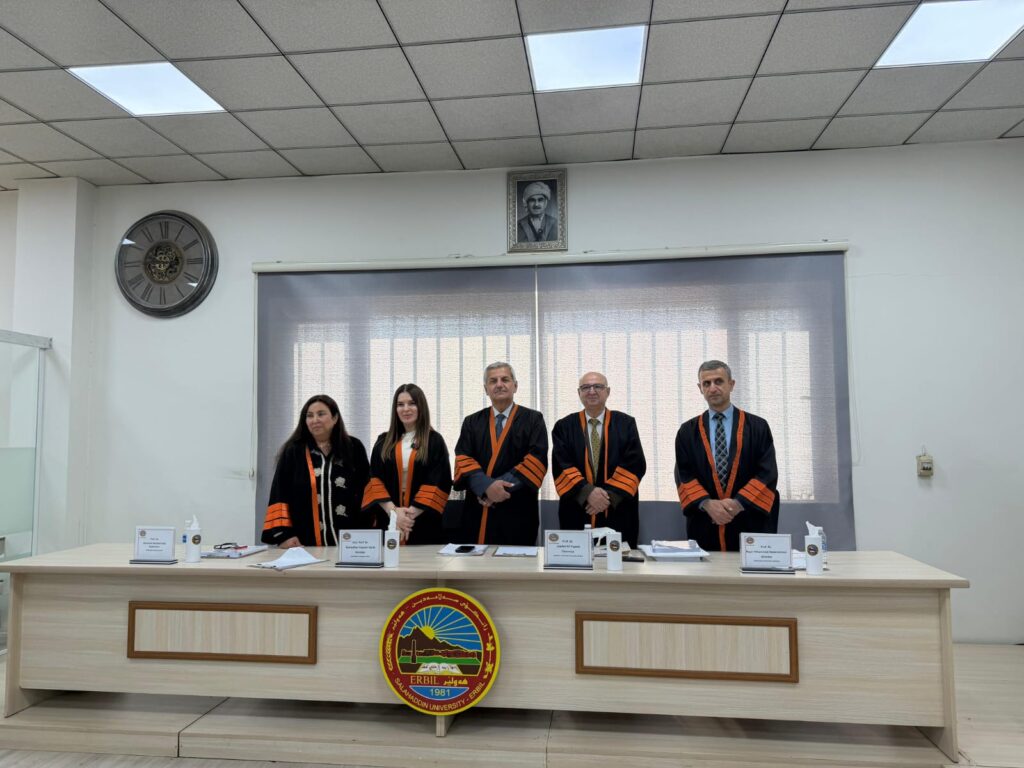
تاوتوێی ماستەرنامەی قوتابی خوێندنی باڵا (همزە عمر اسماعیل)
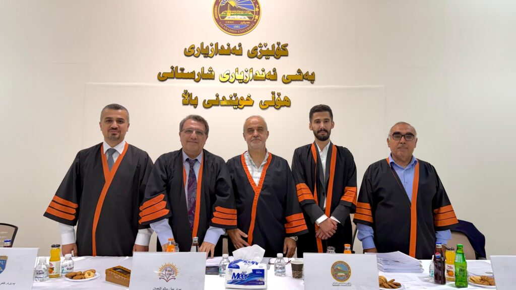
ئەمڕۆ پێنجشەممە 18/6/2026 له هۆڵی خوێندنی باڵای بەشی ئەندازیاری شارستانی وە بە ئامادەبوونی بەڕێز سەرۆک بەشی شارستانی (پ.د. یوسف اسماعیل مولود) تاوتوێی ماستەرنامەی قوتابی خوێندنی باڵا (همزە عمر اسماعیل) بەڕێوە چوو لە ژێر ناونیشانی(Flexural behavior of FRP reinforced concrete beams).لیژنەیەک بۆ تاوتوێکردنی ماستەرنامەی قوتابی ناوبراو پێکهێنرا لەو بەڕێزانەی کە ناوەکانیان لە خشتەی لای خوارەوە دیاری […]
تاوتوێی ماستەرنامەی قوتابی خوێندنی باڵا (همزە عمر اسماعیل) Read More »