geomatics

Role of Esri in Climate Action (SDG13)

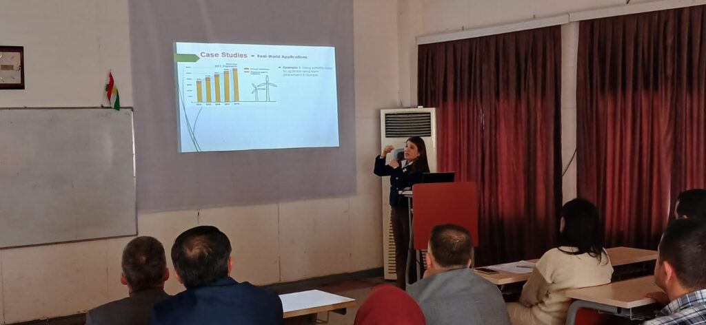
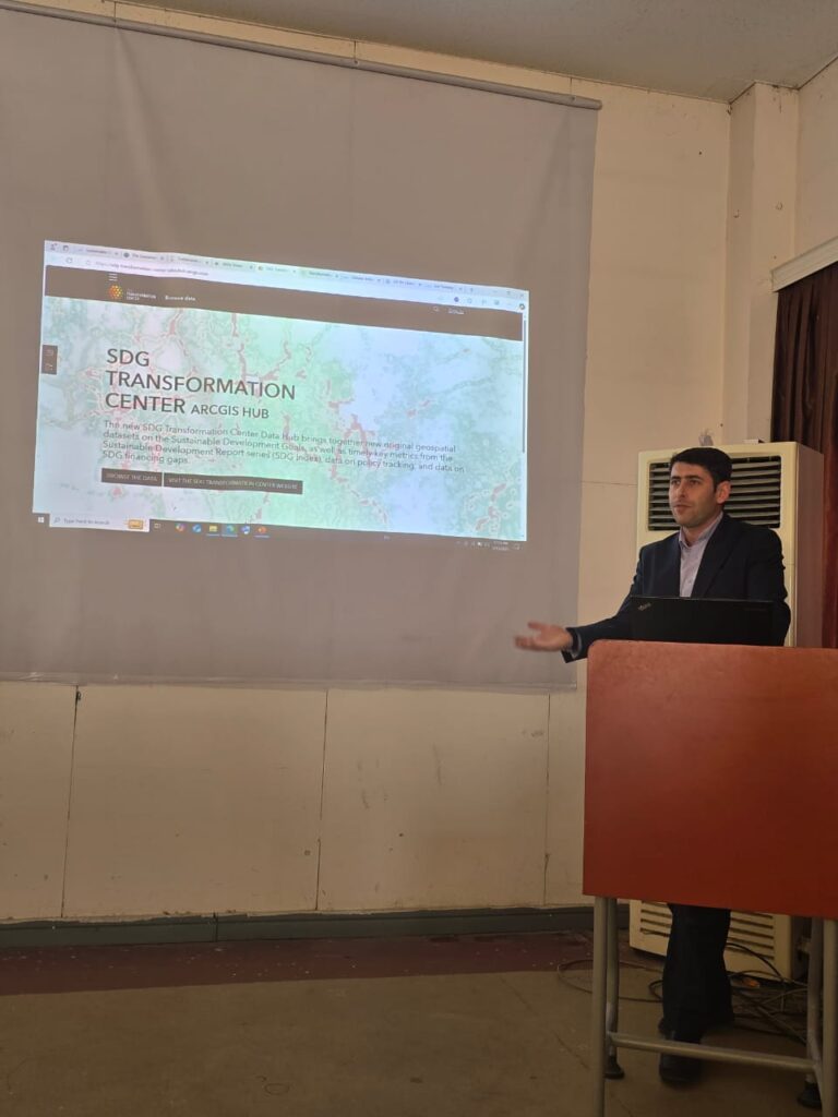
How Esri’s GIS technology is crucial in tackling climate change challenges? It covers GIS applications in monitoring environmental changes, predicting climate impacts, managing resources, supporting policies, and enhancing disaster response. Real-world case studies showcase Esri’s collaboration with organizations like the UN, NASA, and governments in climate risk analysis, sustainable urban planning, and disaster management. The […]

Role of Esri in Climate Action (SDG13) Read More »

Drought Risk Assessment and Mitigation Using Geomatics Techniques (SDG13)

Drought is a critical environmental hazard that affects water resources, agriculture, and ecosystems, leading to significant socio-economic and environmental consequences. Effective drought risk assessment and mitigation require advanced tools and methodologies to monitor and predict drought conditions accurately. Geomatics techniques, including Geographic Information Systems (GIS) and Remote Sensing, provide powerful solutions for assessing drought risk

Drought Risk Assessment and Mitigation Using Geomatics Techniques (SDG13) Read More »

Remote Sensing for Carbon Footprint Reduction: Advancing Clean Energy Sustainability (SDG13)

As the world transitions toward sustainable energy solutions, reducing the carbon footprint of energy production and consumption has become a critical goal. Remote sensing technologies play a pivotal role in this effort by providing accurate, real-time data for monitoring, analyzing, and optimizing clean energy resources. This seminar, titled “Remote Sensing for Carbon Footprint Reduction: Advancing

Remote Sensing for Carbon Footprint Reduction: Advancing Clean Energy Sustainability (SDG13) Read More »

Exhibiting the Past by Implementing Photogrammetry in Virtual Heritage Museums(SDG11)

The seminar on Exhibiting the Past by Implementing Photogrammetry in Virtual Heritage Museums is related to the integration of photogrammetric techniques for creating virtual museums, which show and present cultural and historical objects digitally. Through utilizing photogrammetry it is possible to create 3D models which help digital preservation and presentation of objects and sites which

Exhibiting the Past by Implementing Photogrammetry in Virtual Heritage Museums(SDG11) Read More »

Cultural Heritage Preservation through Photogrammetric Documentation (SDG11)

The seminar on Cultural Heritage Preservation through Photogrammetric Documentation is related to using photogrammetry as a tool for the documentation of cultural historical sites. Through using advancing imaging techniques such as a camera, with the aid of photogrammetry it is possible to create 3D models for objects, such as buildings, artefacts and landscapes. The proposed

Cultural Heritage Preservation through Photogrammetric Documentation (SDG11) Read More »