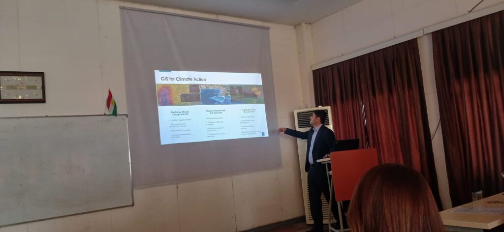
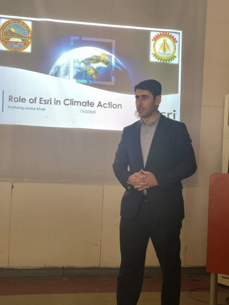
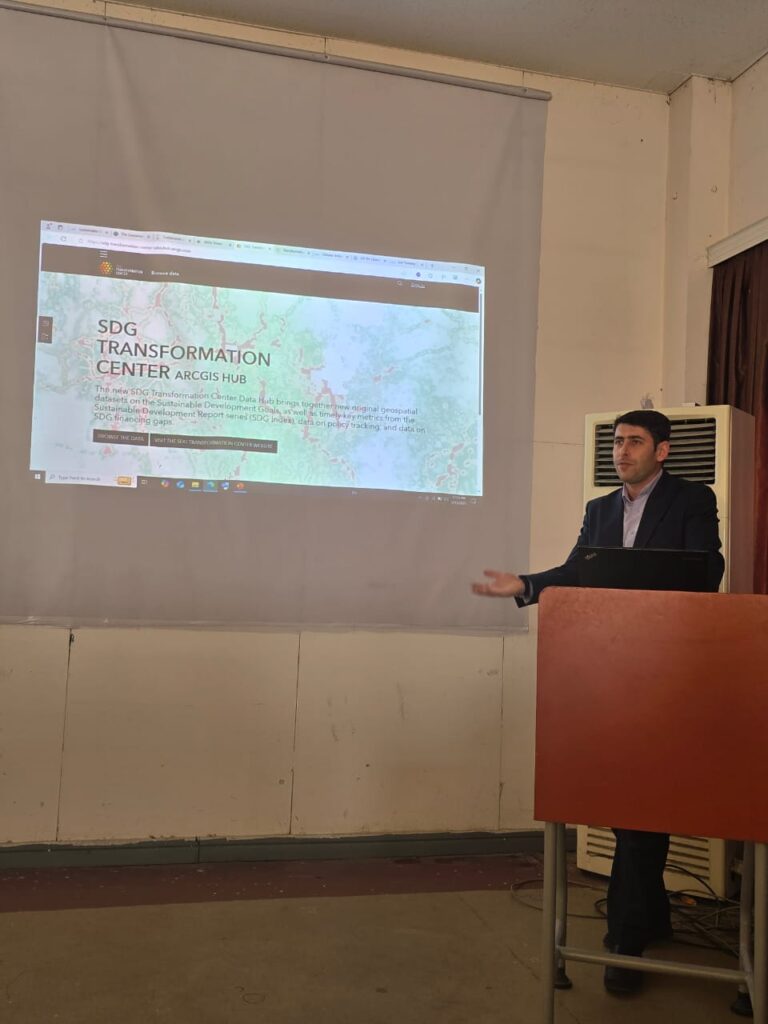
How Esri’s GIS technology is crucial in tackling climate change challenges? It covers GIS applications in monitoring environmental changes, predicting climate impacts, managing resources, supporting policies, and enhancing disaster response. Real-world case studies showcase Esri’s collaboration with organizations like the UN, NASA, and governments in climate risk analysis, sustainable urban planning, and disaster management. The presentation emphasizes GIS as a key tool for achieving the United Nations Sustainable Development Goals (SDGs) and building climate resilience through spatial analysis and high-tech mapping solutions.
by M.Hoshang Jaafar Khdir