Brief description:
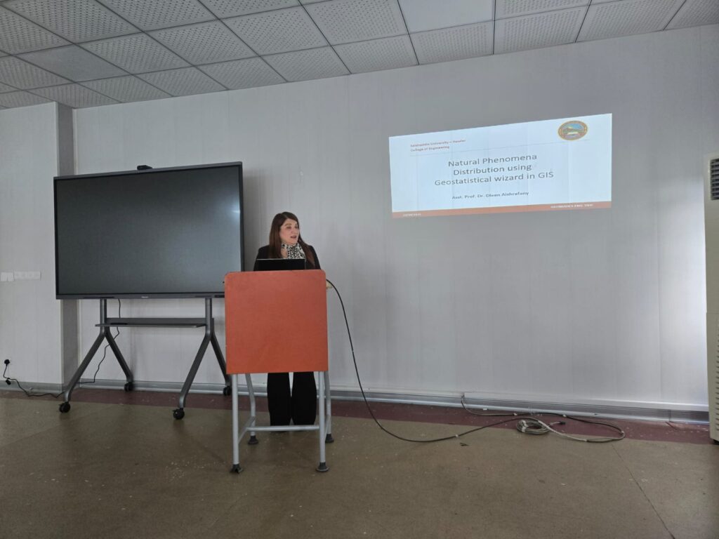
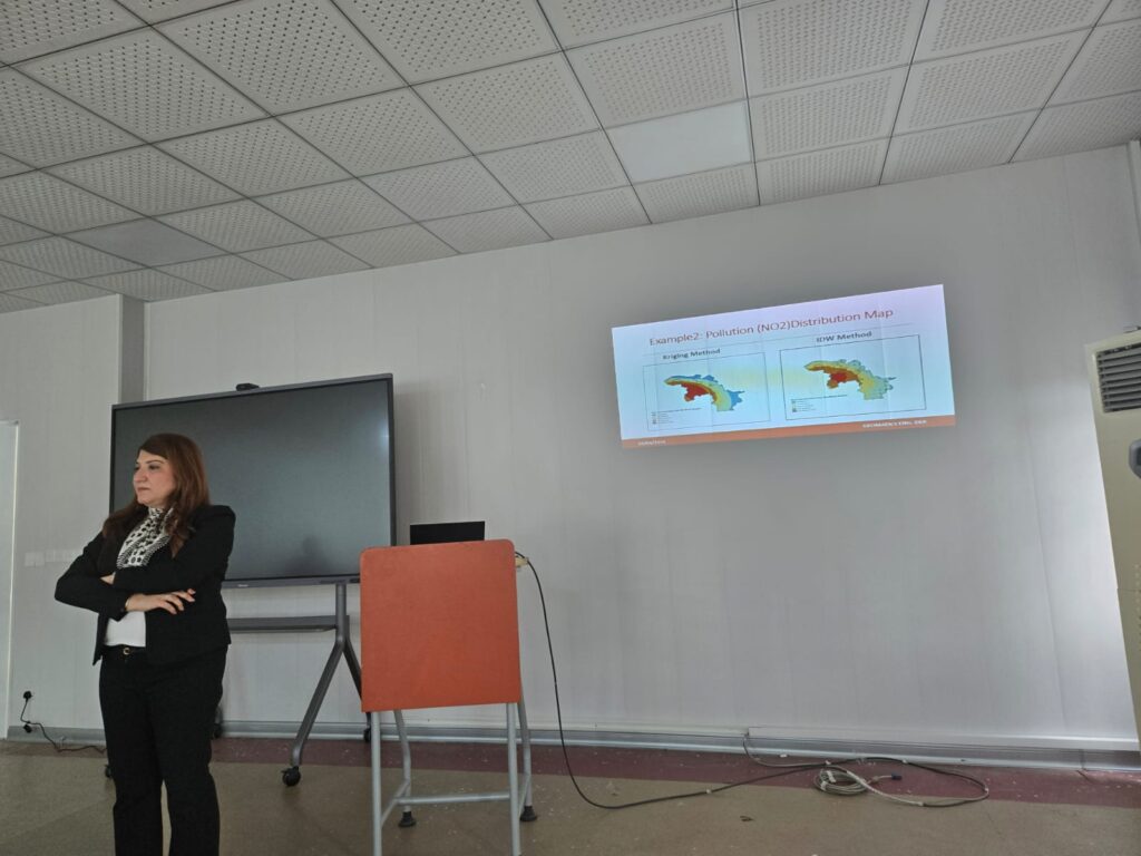
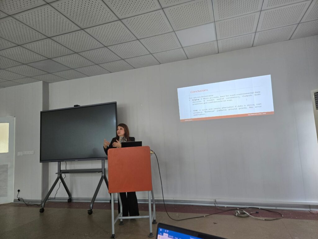
This seminar explains how does the Geostatistical Wizard in ArcGIS Pro is a powerful guided tool that used to analyze and map the spatial distribution of natural phenomena (like temperature, pollution, rainfall, …) by converting scattered data into continuous surfaces through interpolation methods such as Kriging and IDW
Dr.Dleen Mohamad