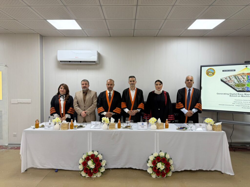
تاوتویێ کردنی ماستەرنامەی قوتابی خوێندنی باڵا (ڕۆژان حسین حمه)
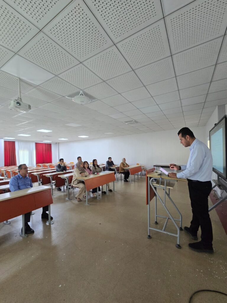
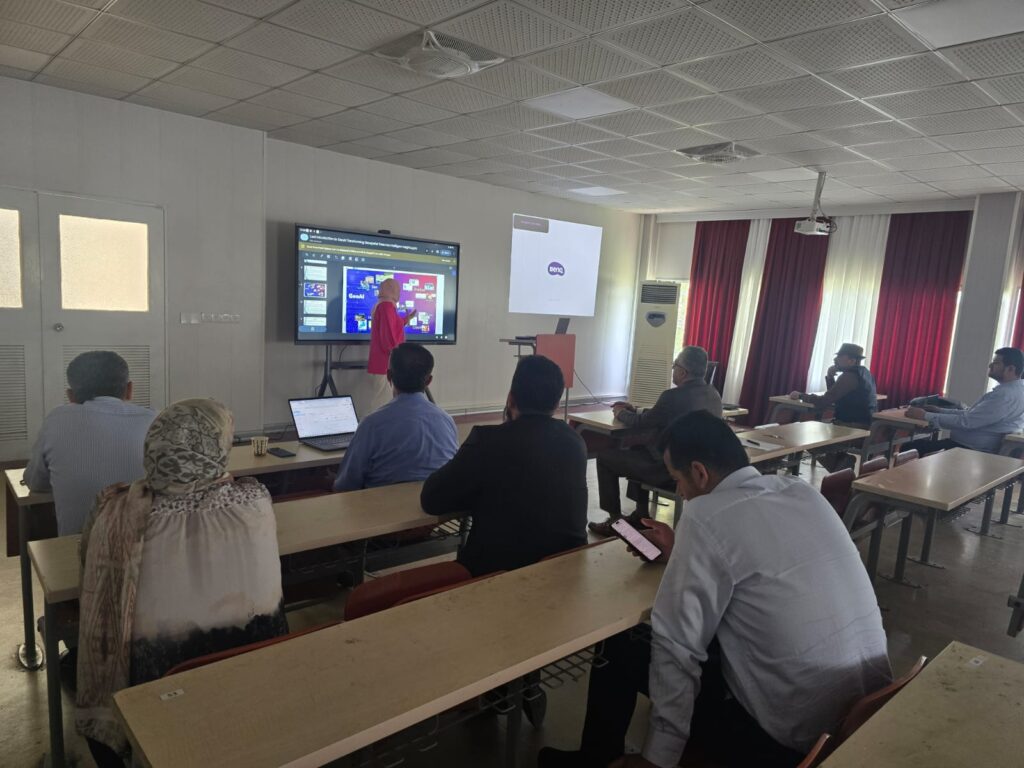
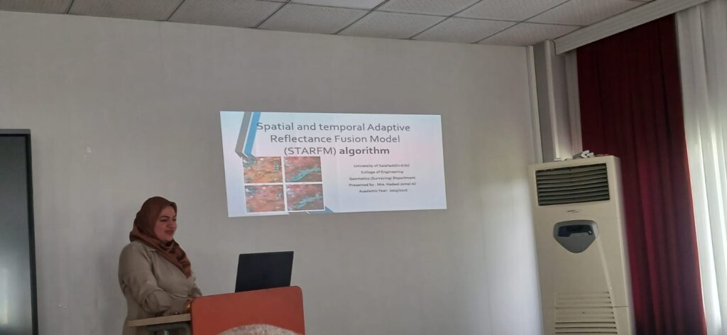
رۆژی پێنج شەممە ڕێکەوتی (18/6/2026) کاتژمێر (10) بەیانی لە (هۆڵی سيمينار) لە بەشی ئەندازیاری جیوماتکس وە بە ئامادەبوونی بەڕێز ڕاگری کۆلێژ (پ.د. شکر قرنی) وە بەڕێز یاریدەدەری ڕاگر (د. بنیاد معروف) وە بەڕێز (د. دانەر حسن) سەرۆک بەشی ئەندازیاری جیوماتکس, تاوتوێی ماستەرنامەی قوتابی خوێندنی باڵا (ڕۆژان حسین حمه) ئەنجام درا بە ناونیشانی (Generating Digital Base […]
تاوتویێ کردنی ماستەرنامەی قوتابی خوێندنی باڵا (ڕۆژان حسین حمه) Read More »