Seismic DesignComparison for Erbil City
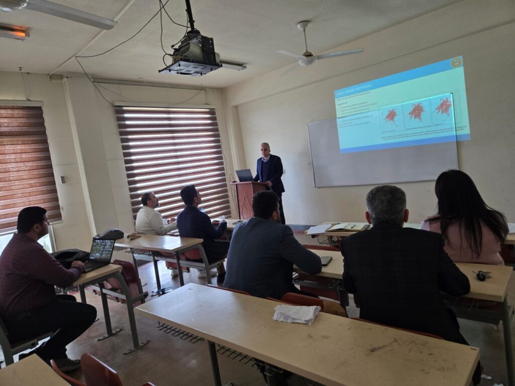
Dr.kamaran kakil27_4Seismic DesignComparison for Erbil CityThis seminar explains the differences between designing high–rise buildings in accordance with UBC97 and ASCE7-20 for seismic zone located in Erbil city. The specified zone for Erbil city was zone 2B according to UBC97, while assigning values Ss=0.6, S1=0.1 according to the Iraqi seismic map, and ASCE7-20 code. The comparisum […]
Seismic DesignComparison for Erbil City Read More »