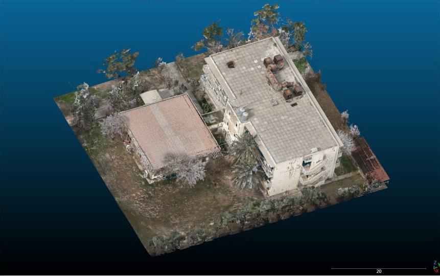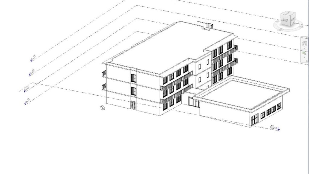
This project, which meticulously generates a detailed 3D model of the Geomatics Engineering Department by integrating drone-based photogrammetry for the exterior and terrestrial laser scanning for the interior, recently achieved significant recognition. This innovative work was proudly showcased at a recent expo held at Knowledge University, with the Geomatics Department of Salahaddin University actively participating. Beyond its technical excellence in creating a seamless and spatially accurate representation, this 3D model stands as a vital tool for the documentation and preservation of architectural heritage. It provides an invaluable digital archive, supporting future conservation efforts, architectural analysis, and fostering broader public engagement through virtual access and educational applications. The project’s presence at the expo highlights its innovative approach and its potential to contribute to both the technological advancement of geomatics and the cultural preservation of built environments.