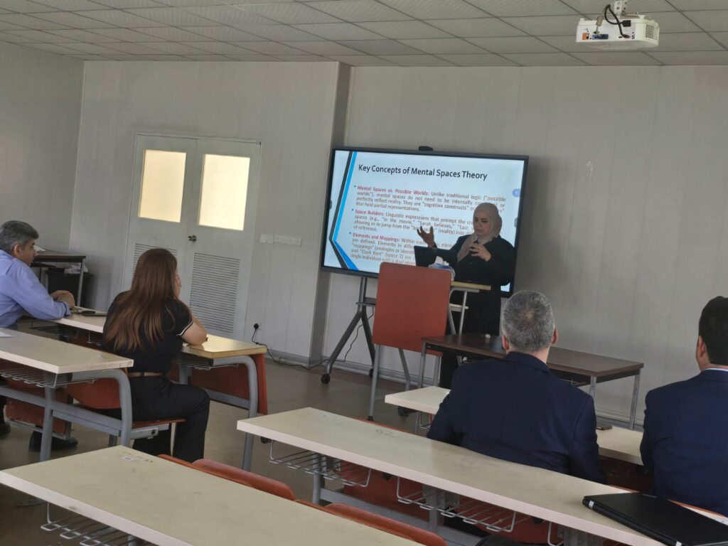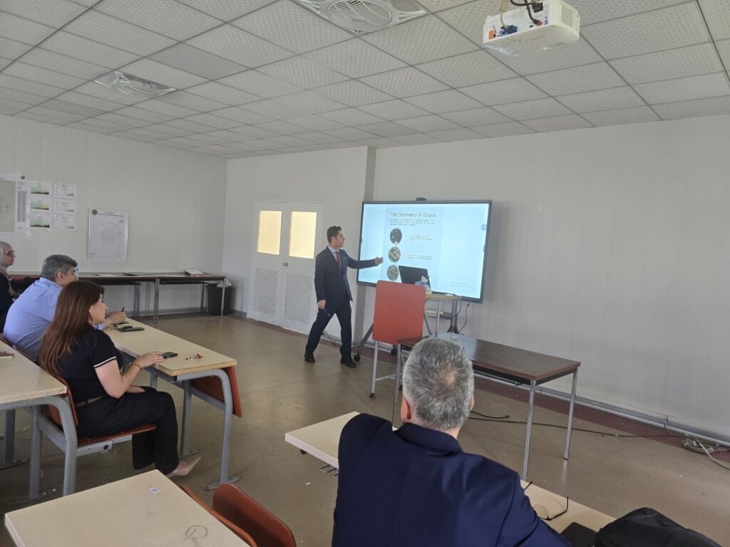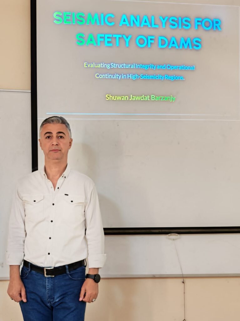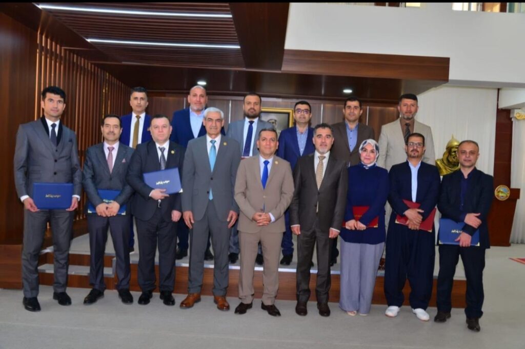
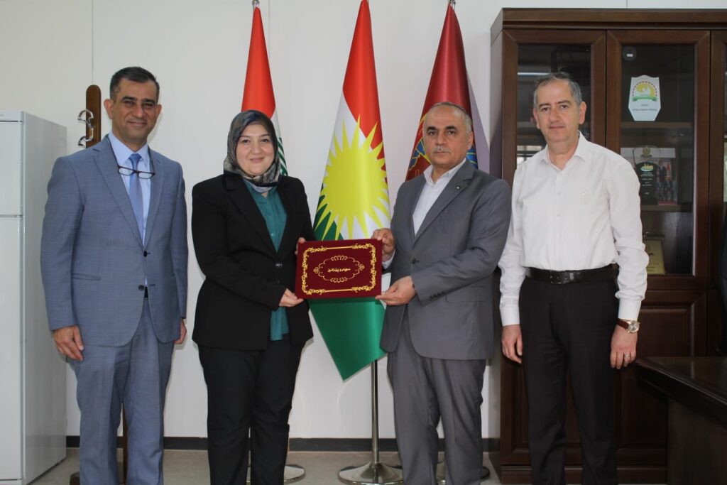
پیرۆزبایی لە ڕاگرایەتی کۆلێژی ئەندازیاری بۆ بەڕێز (د. فێنک دلاوەر عزیز)
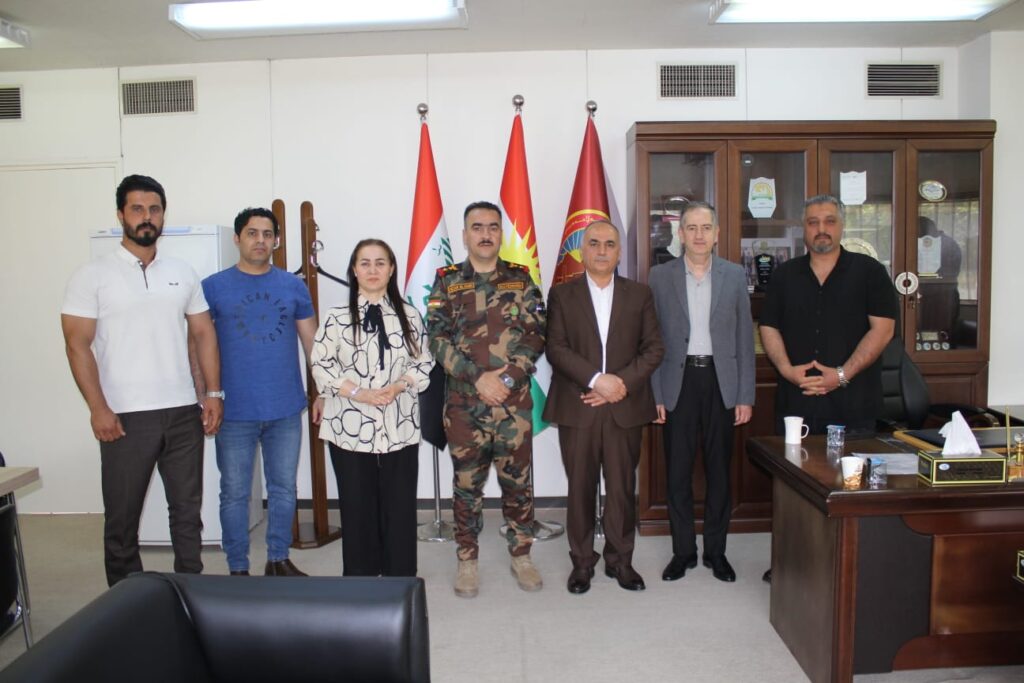
ئەمڕۆ دوو شەممە رێکەوتی (11/5/2026 ) کاتژمێر (10:30) بەیانی لە ڕاگرایەتی کۆلێژ بە ئامادەبوونی بەڕێز (پ.د.شکر قرەنی عزیز) ڕاگری کۆلێژی ئەندازیاری و بەڕێزان (د. بنیاد معروف خەزنەدار) یاریدەدەری ڕاگر و (پ. د. صلاح الدين ياسين باپیر) سەرۆکی بەشی ئەندازیاری تەلارسازی و (هێرش محمود بابکر) بەرپرسی هۆبەی سەرچاوەمرۆییەکان و کارگێری پێشوازیان کرد لە بەڕێز (د.فێنک دلاور […]
پیرۆزبایی لە ڕاگرایەتی کۆلێژی ئەندازیاری بۆ بەڕێز (د. فێنک دلاوەر عزیز) Read More »