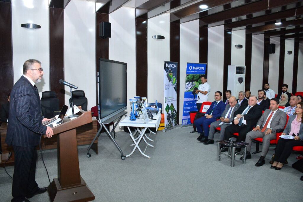
A recent symposium, “Mapping the Future: Geomatics Engineering as a Path to Climate Sustainability,” highlighted the critical role of geomatics in addressing climate change. A key presentation, “The Role of Geomatics Engineering in Climate Studies in Terms of Providing Data,” underscored how geomatics provides essential data for climate research. This includes leveraging technologies like Landsat-8,9, LiDAR, Sentinel-1, and Sentinel-2 to derive crucial metrics such as land cover maps, vegetation characteristics, and backscatter coefficients. By providing such comprehensive and diverse datasets, geomatics engineering directly supports climate studies and offers vital tools and information necessary for achieving climate sustainability goals.